AQUATIC RESTORATION
Habitat and Aquatic Connectivity Restoration in the Wolastoq
The Wolastoq [St. John River] meanders its way through the province and into Maine and Quebec. This expansive river is rich with plant, animal, and cultural diversity. The Wolastoq is part of the traditional unceded territory of the Wolastoqiyik and Mi'kmaq peoples. The Wolastoq’s outlet is located in Courtney Bay, in the Saint John harbour, this is also the point at which many fish species begin their journey migrating up the river to the spawning and foraging grounds. These areas include many of the sub-watershed catchments and tributaries located within the Wolastoq.
The Wolastoq is home to nearly 50 at-risk species. A new study from the University of British Columbia and WWF-Canada has found that recovering most of these species is not only possible — it’s also affordable.
With support from the WWF-Canada, ACAP Saint John began restoring migratory routes and riparian areas to enhance fish habitat and ecosystem health throughout the Wolastoq watershed. This work was part of a larger project, in collaboration with the Kennebecasis Watershed Restoration Committee (KWRC) and the Nashwaak River Watershed Inc. (NWAI), aimed at restoring fish habitat and migratory routes along the river.
Groups catchment areas connected to the Wolastoq.
Tree Planting
For this project, all tree planting sites were located in an urban setting where vegetation was sparse leading to increased erosion, water temperatures, sedimentation, and pollutants from runoff.
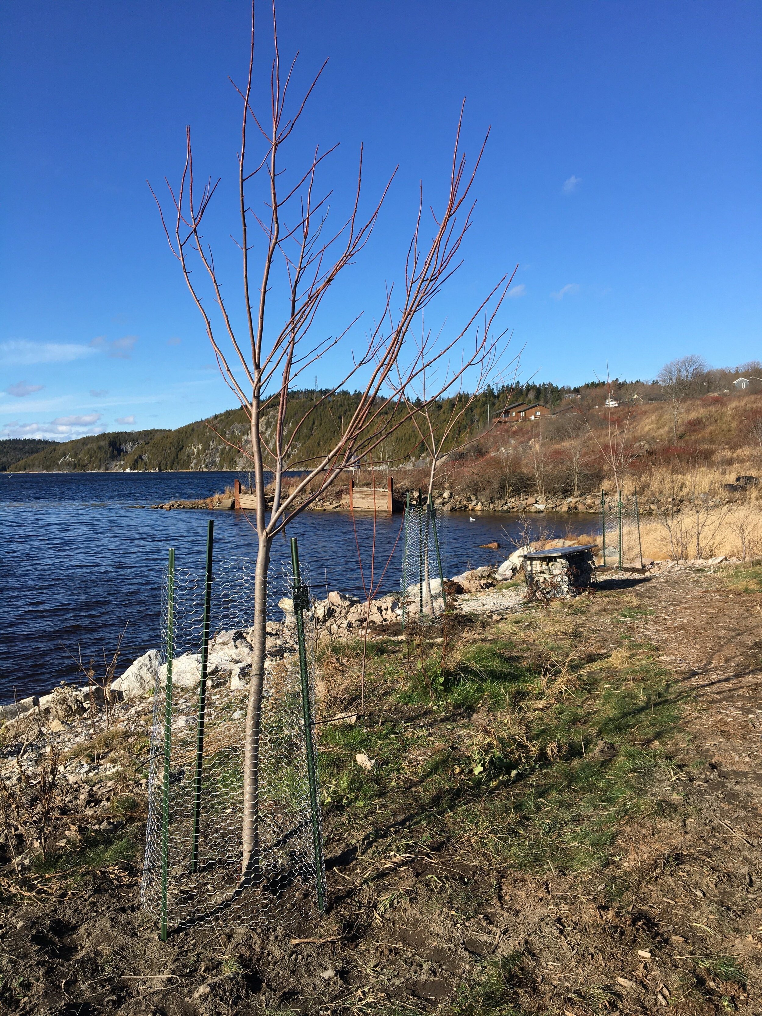
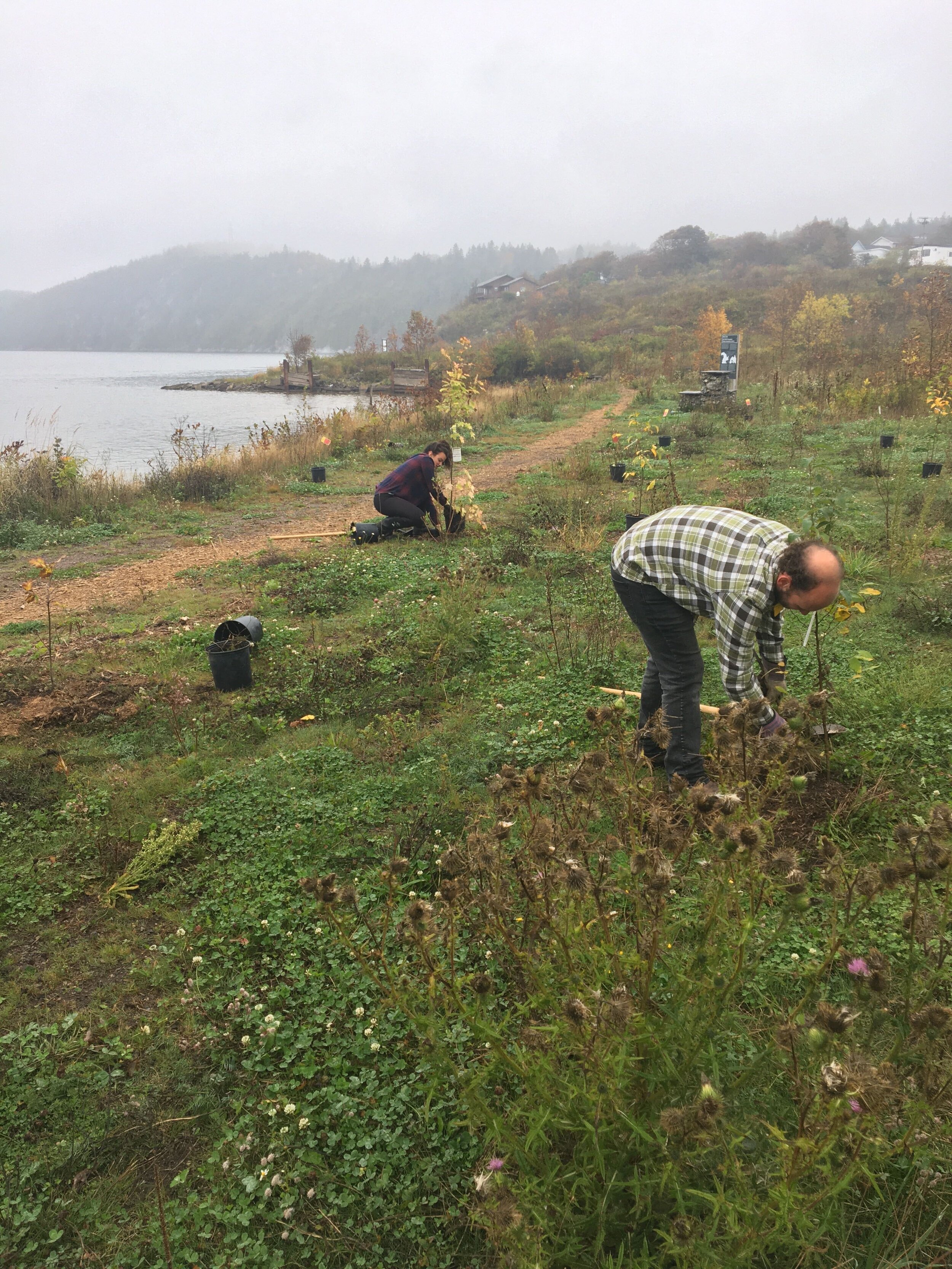
Spar Cove is located on the North end of Saint John along the main stem of the Wolastoq and at the outlet of Newman’s Brook. This site has extremely compacted soil and routinely experiences flood events during the spring freshet. Since 2018, tonnes of litter was removed from the site, and hundreds of trees were planted with efforts to improve the degraded riparian and floodplain area.
With the help from WWF-Canada, ACAP was able to build on this previous restoration work, and in 2020 planted 55 native trees at the site. These trees will aid in establishing roots and retain soil to allow for other vegetation and smaller trees to establish, creating a robust riparian zone that is flood tolerant. Trees also help with the aesthetics of the area creating a green space that the community can utilize as a park, which will further discourage illegal dumping and mistreatment at the site.
The largest area planted this year was at a site located behind Rothesay Netherwood School (RNS) located on the main stem of Taylor’s Brook. This area was extremely eroded with an undercut bank and during rain and flooding events this site experienced increase erosion contributing to larger amounts of soil and sediment entering the stream. A total of 215 trees were planted at this site with the help from students and teachers from RNS.
Volunteers from Rothesay Netherwood School planting on an eroded bank in Taylors Brook.
Wattle Fence
Wattle fences can be made out of willow and red osier dogwood stake cuttings where the stakes are planted and weaved together to create a living fence. During construction, the fence is backfilled with soil to ensure that the stakes to not dry out. The fence is constructed to meet a level where the bank naturally occurs, when possible. This form of bioengineering is often used in eroded areas where the bank is spilling away due to lack of vegetation. Over time as the willow and dogwood stakes begin to root into the newly added soil the fence becomes stronger.
Wattle fences created at an eroding bank on the Kingston Peninsula.
ACAP staff installing a wattle fence.
Wattle fences were installed at a site on the Kingston Peninsula which had very high sandy eroding banks. Wattle fences were installed at the base of the bank in areas with the worst erosion. Two-tiered wattle fences were installed in a series of steps to reduce the slope of the bank. A reduce bank slope will diminish erosion from quick flowing runoff, as well as create a larger buffer zone from waves during flood events.
Fish Migration Restoration
Log and debris jams can severely affect fish migration, preventing species from migrating further upstream to spawning and foraging areas.
In 2020, ACAP Saint John removed a debris jam at a culvert going under the St. Martins highway. Using hand tools to decreaser the amount of disturbance to the stream during the debris removal, staff were able to clear out the culvert which resulted in 4,679 m2 of aquatic habitat being made available for fish.
During the restoration of another site in Taylors Brook, ACAP staff worked to restore migration access while maintaining stream cover and a natural flow regime. A large tree that had fallen into the stream many years prior was left at the site to provide cover for fish. Staff returned to the site in 2021 and it can be seen that the stream has now returned to a natural flow regime.
Before and after shots a a log jam in Taylors Brook that was restricting migration.
How To Get Involved
Are you interested in helping out on future restoration projects? Make sure you join our volunteer network to hear about upcoming community tree plantings and cleanups!
Volunteers from Saint John High at the Pte David Greenslade Peace Park after completing a tree planting, wattle fence installation and invasive species removal.


